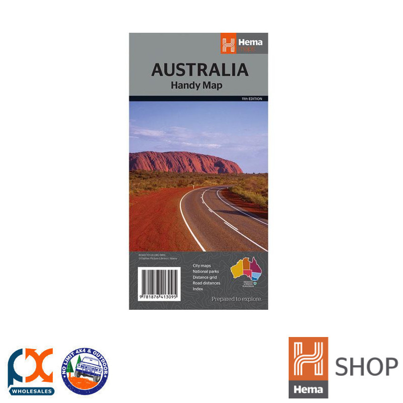


HEMA AUSTRALIA HANDY MAP
Brand: Hema Maps
Product Code: 9781876413095
$8.95
The Australia Handy Map is a foldable, compact Australian map that is perfect as a journey planner or reference tool.
It shows national parks and major road networks with distances for planning, along with major city CBD maps for Brisbane, Melbourne, Sydney, Canberra, Darwin, Adelaide, Perth and Hobart on the reverse side, as well as a distance chart and a placename index for practical use.
Features:
- City CBD Maps
- National Parks
- National Reserves
- Distance grid
- Road distances
- Placename Index
- Major Highways
- Major Roads
- Minor Roads
- 4WD Tracks
- National Highways
- National Routes
- State Routes
- Railways
- Aboriginal Land
- Military/Restricted areas
- Lakes/Rivers
- CBD Legend
- Australian Time Zones
(9781876413095)
Be The First To Review This Product!
Help other PX Wholesales Pty Ltd users shop smarter by writing reviews for products you have purchased.
